Cold fronts pose unique challenges for pilots – here’s what you need to know to navigate them safely.
Cold fronts are a year-round reality for pilots flying in south-eastern Australia. They can bring rain, turbulence, storms and high winds as moving masses of cold air force moist, warm air upwards. While understanding cold fronts in theory may be simple, translating that knowledge into safe, effective flight practices can be challenging.
Training for cold front conditions
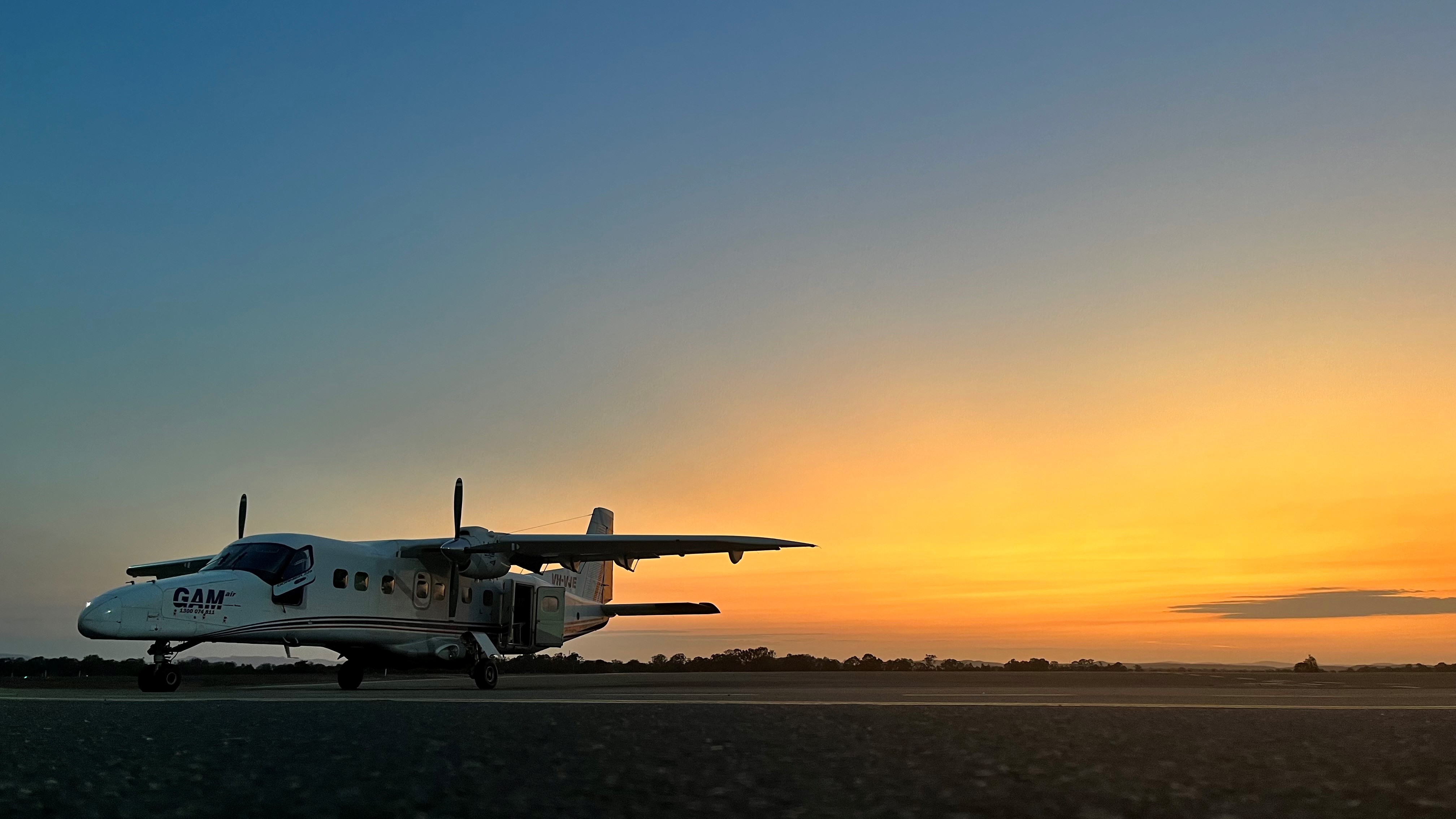
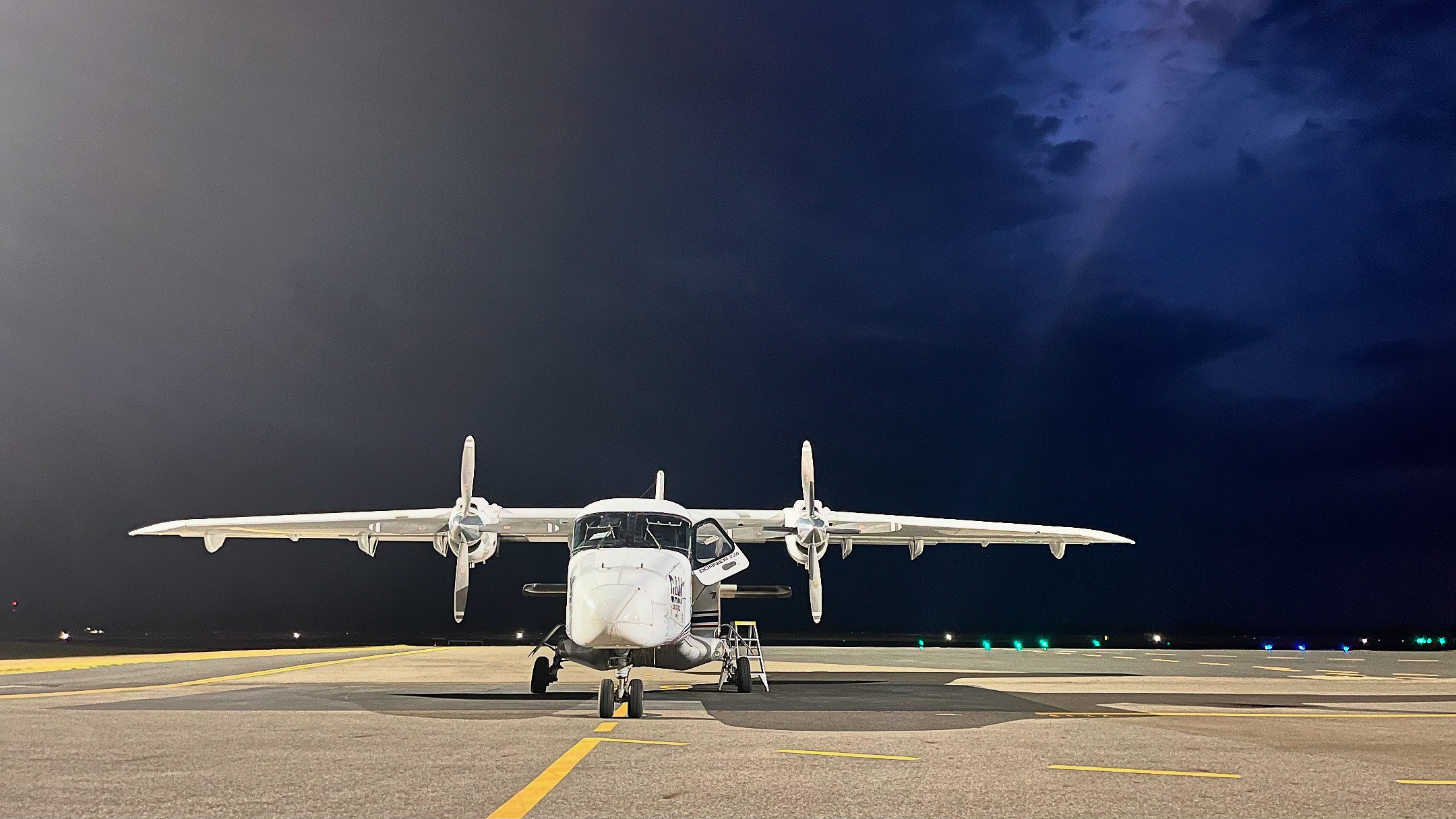
Reuben Mowbray, a Training and Checking Pilot for GAM Group – a longstanding air transport operation in south-eastern Australia – trains new pilots to manage cold fronts. GAM holds numerous regional freight delivery contracts and often serves as an entry point for pilots gaining exposure to operating under the IFR.
Training new pilots to operate GAM’s AC50 Shrike Commander and AC90 Turbo Commander aircraft is one of Reuben’s ongoing challenges.
‘We’re training pilots who just don’t have the experience dealing with the things we typically find on the weather forecast down here,’ says Reuben.
‘It’s about translating what you’re reading into what the conditions actually experienced in flight are.’
Importance of pre-flight briefing
Without tools like weather radar, Reuben stresses the importance of a thorough pre-flight brief.
‘We’re operating in the general aviation space without all the bells and whistles you’d see on larger airliners, like weather radar.
‘Pilots need to build a good visual image of the weather from forecasts. In-flight, we often rely heavily on the pre-flight briefing to give context to what we’re seeing in-flight,’ says Reuben
Cold fronts, and the hazardous weather associated with them, are typically identified on the authorised forecasts issued by the Bureau of Meteorology such as Graphical Area Forecasts (GAFs), but additional sources, including Terminal Area Forecasts (TAFs), SIGMETs and SIGWX charts, help pilots build a more complete picture.

Additional flight planning tools
Reuben also emphasises the benefits of using an electronic flight bag (EFB) before and during flight.
‘Using the technology available on EFBs can really help build situational awareness,’ he says.
One of his go-to tools is the weather app Windy, which displays weather parameters like wind, rainfall, storms and satellite imagery.
‘Windy is great for visualising trends like cold fronts. It shows weather information with clear timestamps, helping pilots understand evolving conditions.’
This extra weather information is not without its trappings, and Reuben stresses how important it is to understand the displayed information.
‘Check that you have up-to-date data. You might have a rock-solid plan to avoid some cells associated with a front, but if that radar image showing conditions from 45 minutes ago, it isn’t going to work.’
This information can lead pilots to make good, conservative decisions like choosing to remain on the ground to wait for a front to pass.
‘Sometimes, delaying take-off is the best choice,’ says Reuben.
‘We don’t want to get stuck in a situation when we have to extend flight time with a long diversion around weather when we could just wait 30 minutes for the front to pass.’

Managing cold fronts in flight
Once in the air, navigating the hazardous weather associated with cold fronts is never an easy task. Newer pilots quickly learn that in-flight conditions can deviate from forecasts, and experience is essential to responding to this.
‘Be mindful of inadvertent encounters with turbulence. Understanding your aircraft’s manoeuvring speed (VA) or turbulence penetration speed (VB) is important,’ Reuben says.
‘Operating at these speeds protects your aircraft from overstress and damage if you encounter severe turbulence.’
Reuben also highlights the value of reaching out for advice.
‘Don’t be afraid to ask for help. Reports of weather and thunderstorms from other aircraft and ATC are great for building situational awareness, particularly when you don’t have tools like weather radar.’
A final lesson on cold front awareness
Reuben’s last tip for dealing with cold fronts comes in the form of an anecdote from his own flying.
‘I was flying into Essendon with a cold front coming from the west. I could see heavy rain below it, and it was a race between the front and I to reach the runway,’ Reuben recalls.
‘I was on the approach, keeping up speed to beat the front, and I hit unexpected turbulence at just below 500 ft on final.
‘I remember how suddenly it hit the aircraft. It was ahead of the front in clear air and there was no visible warning. The effects of the front arrived before the visual clues of rain and cloud.
‘You’re not always going to see the weather before it impacts you.’
Weather and forecasting resources
Weather and forecasting is one of the focus topics of CASA’s ‘Your safety is in your hands’ campaign. For more insights on navigating weather challenges, be sure to visit the weather and forecasting page on the pilot safety hub.
Additional resources:
Bureau of Meteorology – Frontal Systems (http://www.bom.gov.au/climate/about/australian-climate-influences.shtml?bookmark=fronts)
Bureau of Meteorology – Flying in the Southeast (http://www.bom.gov.au/aviation/data/education/flying-se.pdf)
CASA Stay OnTrack booklet – Flying in the Melbourne region (https://www.casa.gov.au/resources-and-education/publications-and-resources/industry-guides-and-publications/pilot-guides/stay-ontrack-series/stay-ontrack-flying-melbourne-region/weather)


