
Drones are helping scientists collect important data while reducing risks to people and wildlife.
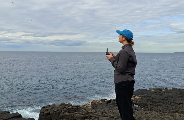
At the NSW Department of Climate Change, Energy, the Environment and Water (DCCEEW), Senior Project Officer Kate Akkerman uses her experience in marine science and her remote pilot licence (RePL) to safely plan and conduct drone operations along the NSW coast.
Kate has dual responsibilities when she flies drones. She is responsible for safe drone operations while also protecting her primary subjects, fur seals.
‘My role includes planning surveys, overseeing flight operations, managing risk assessments, coordinating pilots and ensuring data quality,’ Kate says.
‘Typical missions involve surveying fur seal haul-out sites along the NSW coast. We collect aerial imagery and thermal data, often working with locally based drone pilots to help cover such a large stretch of coastline.’
Safe operations start on the ground
A typical seal survey operation starts well before the drone takes off. Kate and her team assess environmental conditions, airspace requirements and site-specific risks to plan each mission safely.
‘Preparation for seal surveys starts well before we head into the field,’ Kate explains. ‘At the beginning of each year, we obtain ethics approvals, scientific licences and the permissions needed to fly where we need to work.
‘Before each mission, we review weather conditions, airspace requirements, site-specific risks and our survey objectives. We use pre-mapped flight paths to ensure consistency between surveys and to maximise safety and efficiency.
‘Wildlife welfare is at the forefront of our program, so if there is any sign of disturbance to seals or other wildlife, the mission is stopped or cancelled.’
Kate and her team have developed repeatable survey methods that support safe operations across large geographic areas and challenging environments. Working with qualified local operators, they demonstrate how drone technology can be safely used to support scientific research.
‘Getting to know your site is a must,’ she stresses. ‘We now have repeatable surveys at a range of locations and have worked out the safest approaches for both staff and wildlife.
‘Every site has its own challenges, whether it’s changing coastal weather, difficult access or nearby wildlife. We conduct site-specific risk assessments, follow established procedures, maintain situational awareness and ensure all pilots understand the unique conditions at each location.
‘Good planning and local knowledge go a long way in keeping everyone safe.’
Sharing safety knowledge
Although Kate’s work in marine science is highly specialised, her approach to safety applies to drone operators across all industries.
‘Find opportunities to learn from experienced pilots, continue developing your skills and stay curious about new technologies,’ she says.
‘It’s a really exciting space to work in, and the technology keeps opening new possibilities for how we collect data and better understand the natural world.’
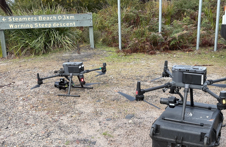
Kate’s safety tips:
- know that safety always comes first and the weather can be unpredictable, so you need to be flexible
- it’s okay to cancel a mission if conditions aren’t right or if there are safety concerns – the world will keep turning and there will always be another opportunity to fly
- even if you have flown at a location many times before, it is important to re-assess the site and do your safety checks
- conditions in natural environments can change suddenly so it is important to take the time to ensure the safety of your team and the wildlife you are there to protect.
If you would like to feature in Drone flyer diaries, please email us.