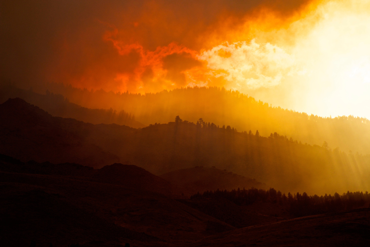
The bushfires burning around the country have brought thick and persistent smoke that has affected a number of airports and aviation operations.
To help pilots flying in these conditions, the Bureau of Meteorology is providing information on vertical visibility (VV) in areas impacted by bushfire smoke.
The VV will tell pilots how much visibility they have above them and will be used at times when smoke is so thick that clouds cannot be easily seen. The forecast will therefore include VV information rather than cloud at these times.
The information will be provided in an aerodrome forecast (TAF), trend forecast (TTF) and critical location forecasts within the graphical area forecast (GAF) and will be in line with international standards.
When vertical visibility is forecast in lieu of cloud, pilots and operators should treat the vertical visibility height as being equivalent to an overcast layer of cloud in making operational decisions related to planning for an alternate aerodrome and determining whether to depart or continue a flight under the VFR.


In other words – also considered a ceiling for light planning purposes. Important remark to add.