And the flying is easy, just watch for thunderstorms, high density altitudes, dehydration and sunburn.
Are you ready? Here comes THE best recommendation for a blockbuster summer read.
Forget your James Pattersons and Stephen Kings. We’re talking edge-of-your-seat, super-thriller stuff. It’s called The Top End wet season Graphical Area Forecast (GAF). I know – catchy, right? You’re going to love it – bad guys everywhere: tropical cyclones, monsoons, thunderstorms, steaming temps … all turning up with their trusty sidekicks: the low-cloud gang, windshear witches, torrential rain dudes and those gangsters from Lightning Alley. Who’d want to miss that?
I’ll give you the tip – me. As a born and bred Queenslander, I’ve hidden under the bed during enough thunderstorms in my youth to now want to give them a very wide birth. Like most pilots in Australia, I have the option to stay below the 20th parallel to wait out the boom crash opera of their wet season, but it’s normal fodder for the commercial operators up there who don’t get to choose. There’s a mob who get awfully good at interpreting weather forecasts.
Forecasts
Now, just a heads-up – if you didn’t immediately twig to what a GAF is, then I’m coming round to your place with a big stick.
Despite a plethora of available weather platforms and apps, these are the big guns for us. The GAF and the Grid Point Wind and Temperature Forecast (GPWT) weren’t very popular when, 5 years ago, they replaced the text-based ARFORs we were used to. But the graphical presentation of weather on the GAF, divided into areas of differing conditions, has now earned a legion of fans, including myself.
It’s my go-to morning read when I wake up 100 miles from nowhere, wondering what the weather gods have in store for us on day 12 of an outback safari. What I read either sends me back under the blankets or yanks me out of bed with gusto. The layout of the PDF version is such a logical and easy read. You can instantly dismiss data on regions or time frames that don’t apply to your flight, but can also see what’s happening in regions either side of today’s route.
I’ve hidden under the bed during enough thunderstorms in my youth to now want to give them a very wide birth.
I was taking a student out on an early nav once and asked whether he’d looked at the weather. He proudly thrust the TAFs (Terminal Area Forecasts) at me and declared all was great. ‘So, we’re going to be teleported between all these aerodromes, are we? What’s the weather doing en route?’ When he told me he didn’t really know, but that it was probably pretty good, it was the beginning of a long and memorable relationship between him, GAFS and GPWTs. TAFs are great for specific aerodrome forecasts but they don’t give the big picture of what’s happening in between them.
Accessed via the NAIPS platform (head to NAIPS/Charts/Chart Directory), the GAF is the first option. Once you select the area applicable to your flight, you can access information on weather, cloud, visibility, icing, turbulence and freezing levels in a graphical layout with supporting text. And to top up the service from the BOM, if you want clarification or an update on any part of a GAF, you can talk directly to the meteorologist who wrote it. This phone number is found in the bottom left corner of the Remarks section of the GAF. Gold.
I shouldn’t be saying it here, but then again, when has that ever stopped me? I am not a fan of the GPWT.
Where are the location names? OK, you can look up the GPWT reference chart, envisage your track on that, then visually transfer it onto what looks like the right grids on today’s chart but, hang on, have I got the right grids? Seriously, how tedious is all that? At least EFBs like OzRunways (via the SmartBrief tab) offer the BOM-sourced GPWT data graphically at your nominated altitude and time frame across your track. Heaven be praised.
We are incredibly lucky these days to have access to many reliable weather forecasting platforms. Use ‘em all, I say. I even look up the layman’s Weatherzone app to get a feel for how that launch day next week is shaping up. Do we need to start thinking about getting away a day earlier to miss that front? Windy is another fantastic BOM-sourced app you can use to round out your picture. It’s also good to get up to speed with reading synoptic charts.
We are incredibly lucky these days to have access to many reliable weather forecasting platforms.
Even when you’re not planning a trip, you can pull up the BOM’s 4-day MSL pressure prognosis chart and get a feel for how quickly or slowly a front, trough or high moves west‑to‑east across the country.
Now, here’s something I’ve only just found. I already love the BOM website, but hadn’t found this hidden treasure chest. While you’re in that hammock over summer, supervising the sprinkler, check out bom.gov.au/aviation weather services/knowledge centre. It explains, decodes and illustrates every aviation weather product available. Such a great resource.
The maître d’
However, all the forecasts in the world aren’t going to change what Mother Nature actually dishes up. All they do is give us a heads-up on what her mood is like today. She gets a bit spicy in summer.
We’ve touched on the show pony of this cabaret – wet season in the Top End. But, for pilots in the rest of Australia, caution bells still need to be at the ready. Let’s look at a few of the hazards of summer flying.
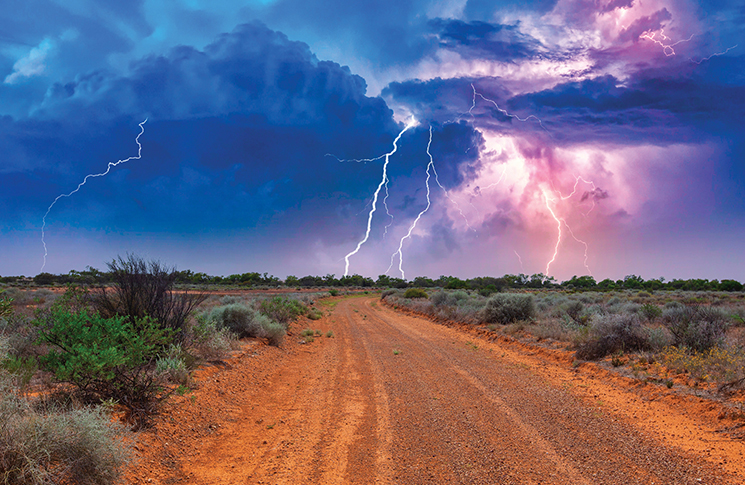
Steering clear of thunderstorm activity should be rule number one.
Thunderstorms
Summer thunderstorms can occur anywhere throughout Australia. The most likely time for a thunderstorm over land is during the afternoon when the land has heated up, creating enough energy in a humid atmosphere to bring on show time. All the moisture-laden warm air wants to do is go up, leading to the development of cumulus clouds. Through powerful updrafts, these can develop into towering culumonimbus and ultimately into a storm cell with a mind all its own.
Often if we know why we need to avoid a particular hazard, it sinks in with a bit more fervour. The hazards of thunderstorms for a pilot cannot be understated.
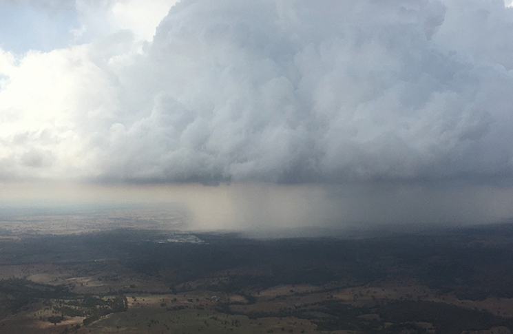
In a well-formed thunderstorm, precipitation falls in great volumes inside the cloud, picking up surrounding air masses to drag along with it as it falls, causing high-octane downdrafts. These updrafts and downdrafts, often alongside each other at strengths exceeding 5,000 feet per minute, trigger extreme turbulence and windshear, exceeding the structural limits of our light aircraft. The precipitation is served up with low visibility and low cloud and you can often expect a side order of gust fronts and hail, or a microburst at ground level.
I don’t know about you, but that’s enough of an argument for me to steer clear. In fact, steering clear of thunderstorm activity should be rule number one. You can do that on the ground when you see TS on the forecast. Put the kettle on and take a load off. You’re not flying today. But if you are airborne and do have to pass a TS, wise old pilots will tell you never to try and fly beneath it, and always fly around a TS on the upwind side. A distance of 10 nautical miles away should be your absolute minimum. Double that distance if your only choice is to pass downwind. You do not know the ferocity of the cell and now’s not the time to pitch the load factor limits of your aircraft against Her Highness.
Density
We also need to be conscious of the less in-your-face threats of flying in hot, humid conditions. We are often reminded of the extra runway length we may need for take-off on a high elevation airfield on a hot day. Who’s the culprit there? Low density, right. It reduces the performance of our aircraft. Same goes for the moist air typical of a hot, humid day. It has a lower density than dry air at the same temperature and pressure. That lower density is going to have a detrimental effect on our aircraft’s performance, even at sea level. Another job for the hammock: swat up on those landing and take-off P-charts.
Dehydration
I wish we didn’t even have to think about our bladder. Such an uncool topic. But just reflecting on summer flying makes me thirsty.
I’ll do anything to get my flying done in the cool of the morning, even in winter. But sometimes you can’t avoid it and you find yourself needing to fly a long leg of a few hours without a comfort stop. When it’s a hot summer’s day, and you’re extra thirsty, you cannot stay thirsty. You’ve gotta drink!
The art of drinking just enough water en route to keep you hydrated, without needing the Go Girl, is one we all need to master. (I’m not interested in what you guys call yours.) Our bodies lose about a litre of water a day on average, far more if it’s hot. If we start losing too much through perspiration, which we may not be noticing, an alarming volume of our body’s functionality starts a steady decline.
Dehydration is an enemy of pilots – and it’s sneaky. Its tendrils can be masquerading as a dull headache, increased fatigue, slightly blurred vision and impaired decision-making. My remedy: ease up on the tea and coffee pre-flight, take small sips of water often, then crank up the volume within about half an hour of your destination. Upon landing, critically unsociable queue jumping at the restrooms is perfectly acceptable.
Sun protection
I got into terrible trouble from the gliding community about 20 years ago when I published my disdain for their signature terry towelling hats. Oh lord, did they come down on me like a ton of bricks. ‘It’s hot up there, Shelley, we’re protecting our heads from the sun.’ ‘They’re a practical solution to stay cool. It’s alright for you, you fly a Cessna.’ ‘It’s not meant to be a fashion show.’ (Good that we cleared that up.) I was going to ask them why they all also wear the same Dunlop Volley footwear, but I was in fear of my life. I know – young, green and clueless, that was me.
So now I bow to the wisdom of the soarers in my life, many of whom I call good friends, and wholly endorse their sun-safe practice. Keep a cool head, the rest will follow. I made that last bit up.
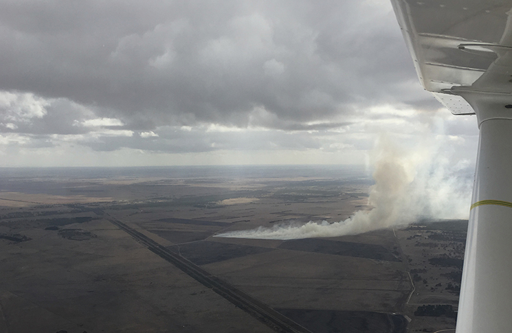
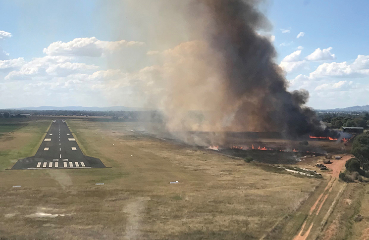
So we end up with plenty of character-building reminders to be aware of in the hazy lazy days of summer ahead. And, thanks to the typical occurrences of rising dust and bushfire smoke, low visibility due haze can indeed be an issue. But, as with most other aspects of our flying, if we know the hazards, we can potentially avoid them.
Australia is the best country in the world to fly, and there’s no need to hang up the headset just because it might be hot, steamy, stormy, bumpy and rainy … just read the forecast and use your head.
You’d be hard pressed to find a better way to celebrate a hot summer’s day than a sunrise flight from your favourite airstrip. See you up there
in ’23.


” I’VE HIDDEN UNDER THE BED DURING ENOUGH THUNDERSTORMS IN MY YOUTH TO NOW WANT TO GIVE THEM A VERY WIDE BIRTH.”
Hmm . . . does the met office need to employ a thunderstorm midwife?
No Rob, but at least you now know what the stirrups are for….
Very inspiring, practical and cool story, Shelley. Thanks.
Hi Shelley…great advice as usual. Another summer hazard, in the north especially, is the Cock-eyed Bob; a dust devil of giant proportions.
Glider pilots love thermals but even the late Ingo Renner stayed away from these.
When I had my station in the Upper Gascoyne, I saw them twist windmills off their foundations and lift corrugated iron roofs to several thousand feet they were so strong. They are usually readily visible due to the dust and debris they contain but a wise pilot is
Minnie Creek down the way had a large hangar and their C172 was battered to death inside it as it smashed repeatedly into the trusses.
You mentioned density altitude as a hazard. My good friend at Minnie was killed in his early model C150 while chasing some errant cattle on a hot day — too hot, too slow and too low. Temperatures in that country in summer routinely exceed 45C and can go a lot higher and performance is degraded to danger levels.
Keep up making these valuable contributions and smooth flying
Thanks Shelley, a good reminder of why we need to respect Mother Nature’s weather handmaidens.
Thank you Shelley, good points
George
Below is Safety message from the ATSB -has been circulating for at least 2 years after fatals and near misses in NT last 5 years.
The primary protection against thunderstorm related turbulence is avoidance. 10 NM is not far enough.
Incidents and accidents generally involved low hour pilots under 1000 hours. The more experience you get the further away from TS you fly.